What Is a Scoping Level Study in Mining? A Complete Guide for Investors & Explorers
INTRODUCTION
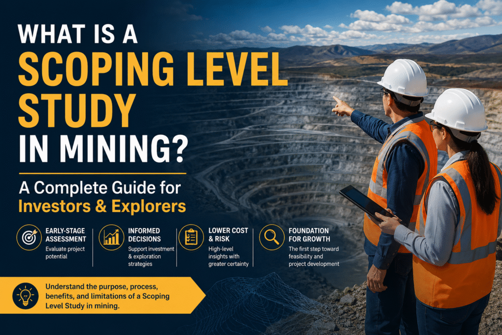
Early-stage mining projects often face a difficult question. Is this deposit worth pursuing, or are we risking time and capital on uncertain ground? At this point, decisions rely heavily on limited data, and mistakes can be costly.
This is where a Scoping Level Study plays a critical role. It provides an initial technical and economic snapshot of a project before major investments are made. At TMR Mining & Exploration, we support these early evaluations through targeted geophysical surveys that improve confidence in subsurface understanding.
In this guide, we explain what a Scoping Level Study involves, how it fits into mining project development, and how reliable geophysical data strengthens early-stage decision making.
The Role of Scoping Studies in Early Mining Decisions
Mining projects move through several structured evaluation stages, often referred to as mining project feasibility stages. Before detailed engineering or feasibility work begins, companies rely on early assessments to determine viability.
A scoping study mining approach, also known as a preliminary economic assessment mining study, provides a high-level estimate of a project’s potential. It evaluates key factors such as resource size, mining methods, processing options, and approximate costs.
However, these studies are based on limited data. Geological models may still be evolving, and drilling coverage is often sparse. This creates uncertainty, particularly in understanding ore continuity and subsurface structures.
Without reliable subsurface data, early assumptions can lead to incorrect resource estimates or flawed project designs. This is a common gap we see when supporting exploration teams at this stage.
How TMR Strengthens a Scoping Level Study with Geophysical Insight
At TMR Mining & Exploration, we approach each Scoping Level Study by improving the quality of subsurface data before key assumptions are locked in. Our geophysical surveys help reduce uncertainty where drilling alone is not enough.
We apply a combination of methods depending on the geological setting:
- Magnetic surveys help identify lithological boundaries and structural trends. These are especially useful in mapping faults and intrusive bodies that control mineralization.
- Gravity surveys provide insight into density variations, which can indicate ore bodies or alteration zones at depth.
- Electromagnetic surveys are effective for detecting conductive mineralization such as sulphides, even beneath cover.
In one recent project, we supported an early-stage exploration program where drilling results were inconsistent across the site. By integrating magnetic and electromagnetic data, we identified structural controls that were not visible in initial geological models. This allowed the client to refine their exploration targets before progressing to a more advanced PEA mining-level assessment phase.
Our experience shows that integrating geophysics early leads to more realistic assumptions in order of magnitude study mining work. It does not eliminate uncertainty entirely, but it significantly improves the reliability of early-stage interpretations.
Why a Strong Scoping Level Study Matters
A well-executed Scoping Level Study provides more than just numbers. It shapes the direction of the entire project.
When supported by quality geophysical data, the benefits become clear:
- Improved resource confidence through better understanding of subsurface continuity
- Reduced exploration risk by identifying high-potential zones early
- More accurate cost assumptions, particularly for mining and processing methods
- Faster progression to advanced studies such as scoping study vs prefeasibility study comparisons
These advantages directly impact investor confidence. Early clarity helps stakeholders decide whether to proceed, adjust strategy, or exit a project before significant capital is committed.
From Survey to Model: Integrating Data the Right Way
A key part of our work at TMR involves integrating geophysical data into geological models in a structured and practical way. This process aligns with global industry practices, including frameworks such as JORC scoping study reporting standards.
We follow a clear workflow:
First, we design the survey based on project goals and geological context. This ensures the right method is used for the right target.
Next, we conduct field data acquisition. This stage often presents real-world challenges such as rough terrain, access limitations, or environmental conditions. Our field teams adapt methods to maintain data quality despite these constraints.
After acquisition, we process and interpret the data using advanced modelling techniques. This step converts raw measurements into meaningful subsurface insights.
Finally, we integrate the results with existing geological and drilling data. This creates a more coherent model that supports early economic evaluations and mineral exploration study stages.
This integrated approach ensures that geophysical data is not treated as standalone information, but as a core input into decision making.
Conclusion
A Scoping Level Study is a critical step in determining whether a mining project is worth advancing. Its value depends heavily on the quality of the data behind it.
At TMR Mining & Exploration, we help strengthen these early studies through reliable geophysical surveys and practical field experience. If you are planning a project or reviewing an early-stage asset, we are ready to support you with data-driven insights that improve clarity and reduce uncertainty.
Reach out to our team to discuss how we can support your next Scoping Level Study.